
Know what the island knows.
Weather can split between town, summit, and open water. Start with the right source, then use the island’s calendars, ferries, markets, and community organizations to make a fuller trip.
Three forecasts, not one icon.
No single “locals’ app” is documented. Acadia’s own weather page points visitors to Weather Underground for Cadillac Mountain; local planning is stronger when that is paired with NWS and NOAA.
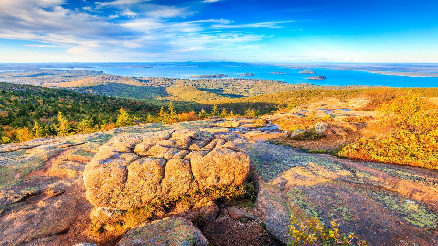

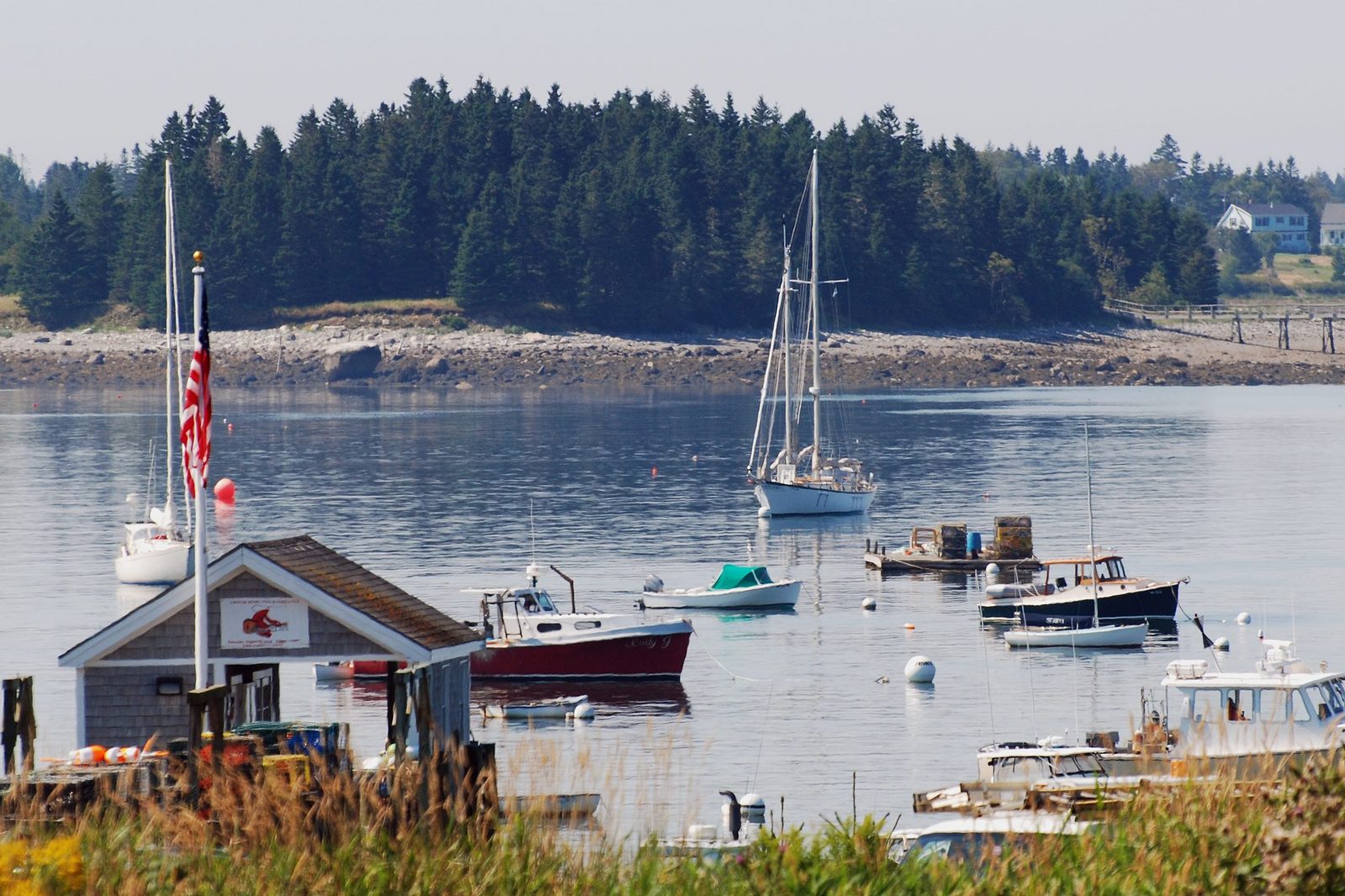
NWS Bar Harbor forecast
Use the official point forecast for current conditions, hourly detail, wind, precipitation, and active hazards around Bar Harbor.
Open Bar Harbor forecast ↗ Summit · local stationCadillac Mountain station
NPS links to this Weather Underground personal station because summit conditions can differ sharply from Bar Harbor. It showed no data on October 9, so treat it as a useful extra—not the only source.
Check station status ↗ Water · ANZ150NOAA marine forecast
Check wind, waves, visibility, and small-craft advisories before a cruise, kayak, sail, or exposed coastal day.
Open Frenchman Bay waters ↗ Park · current noticesNPS current conditions
Weather does not show trail closures, road restrictions, facility status, or active park alerts. This page does.
Check Acadia conditions ↗ SpringCool, wet, muddy, and changeable; verify seasonal access.
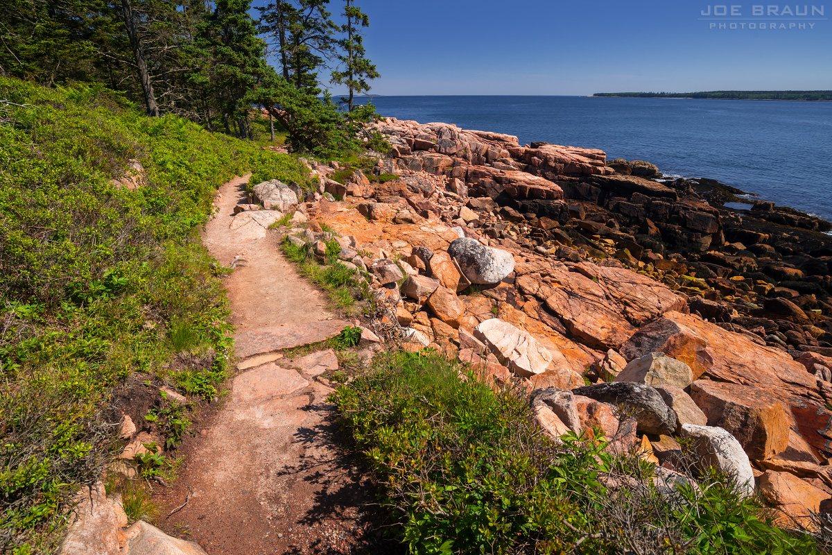 SummerFog, rain, sun, and sea breeze can arrive in one day.
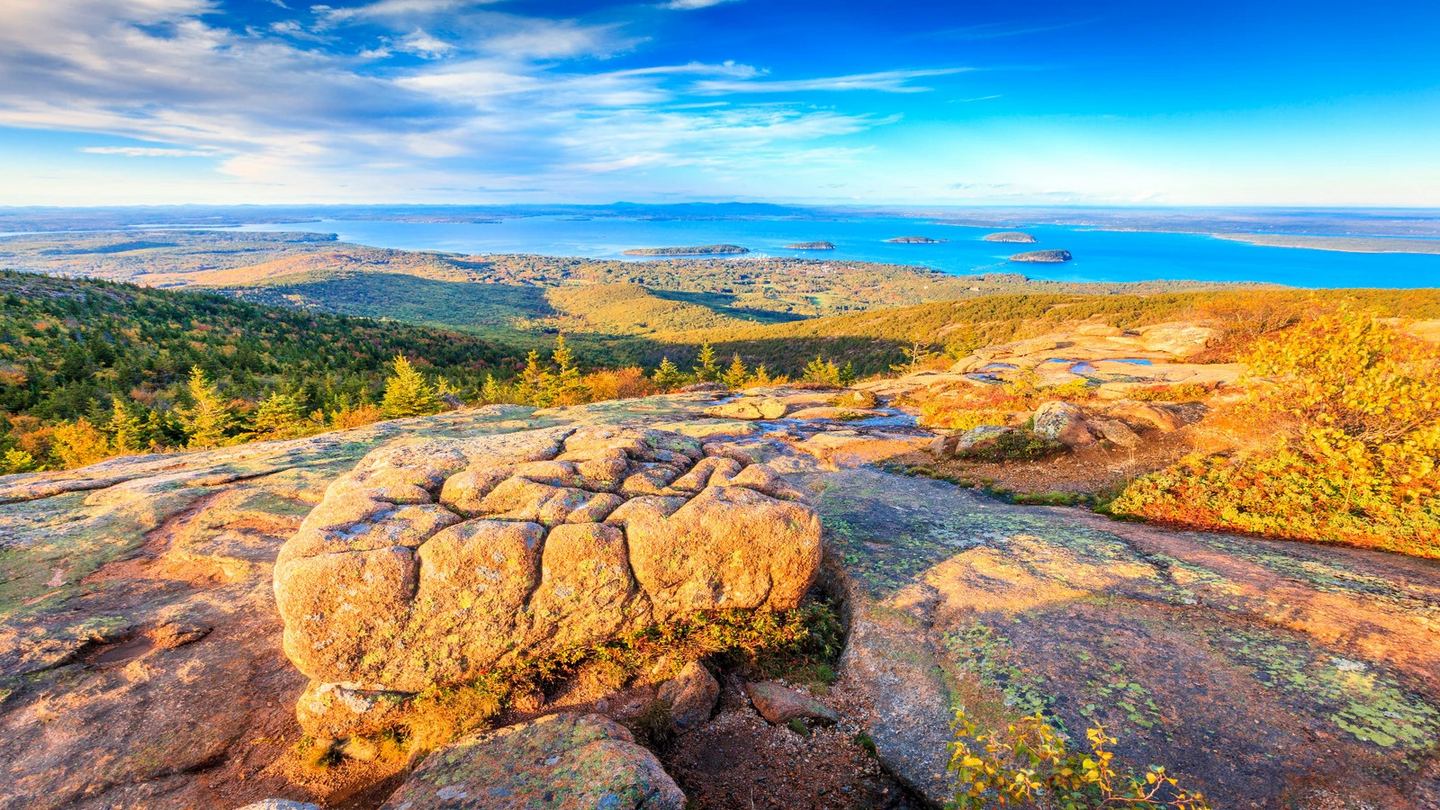 FallCool starts, shorter daylight, and fast summit changes.
 WinterWind, ice, snow, and reduced road and facility access.
Why there is no temperature shown here: this preview is a static guide. Open the linked source for current observations instead of relying on a stale snapshot.
Turn a visit into a relationship.
A practical layer for weekly events, local food, community spaces, transit, and giving back—useful to visitors and valuable to island organizations.
 What’s on
Mount Desert Islander
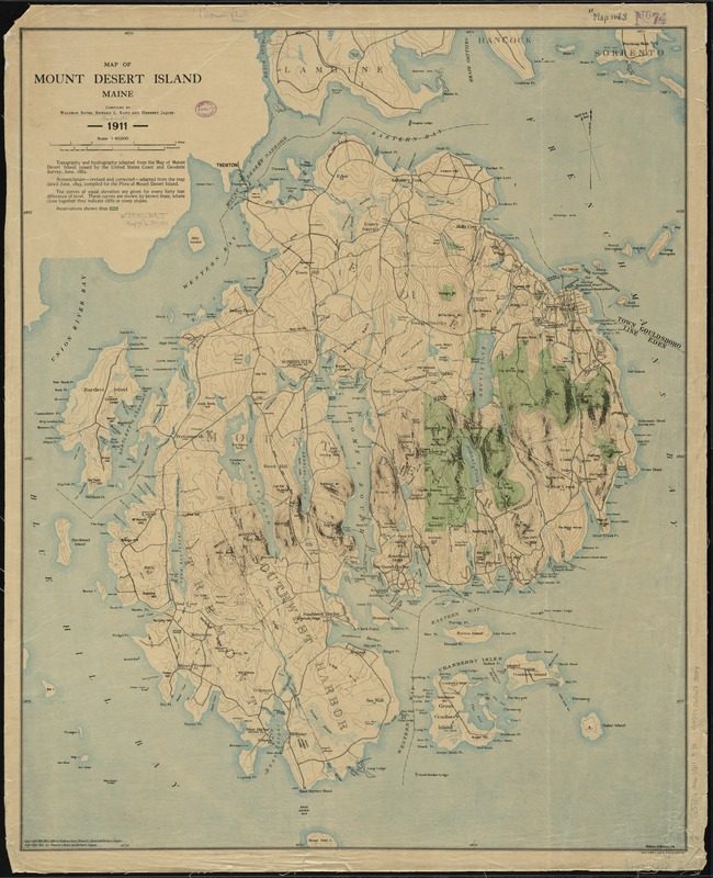
Island-wide news and an events calendar spanning Bar Harbor, Mount Desert, Southwest Harbor, Tremont, Trenton, and the outer islands.
Read island news ↗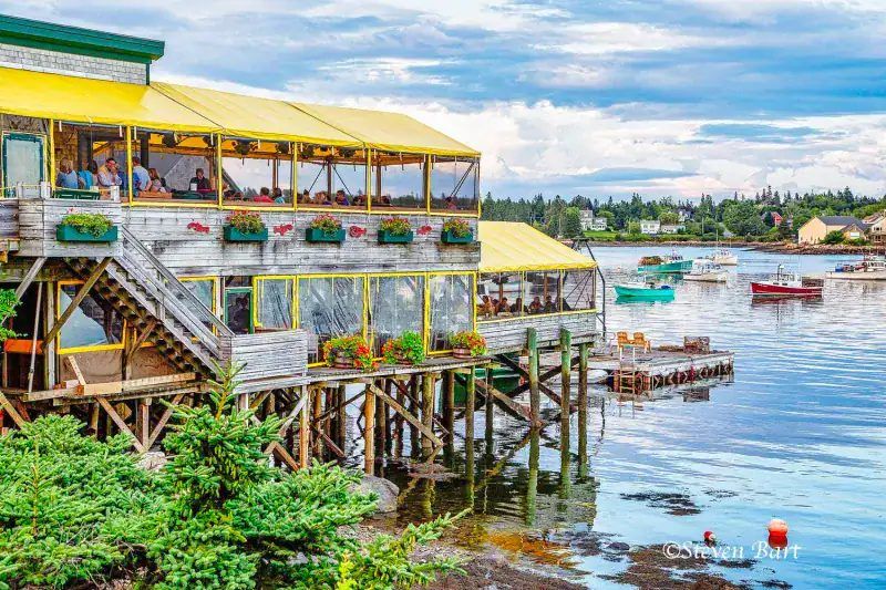 Buy local
MDI Farmers Markets
Meet island growers and makers at weekly markets in Bar Harbor and Northeast Harbor; confirm seasonal dates before setting out.
See market information ↗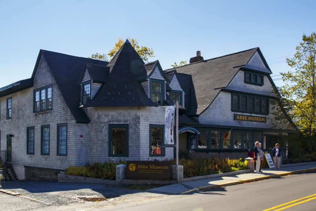 Rainy day & families
Island libraries
Start with Jesup Memorial Library for talks, children’s programs, exhibits, and museum-pass information; each major village has a public library.
Explore Jesup programs ↗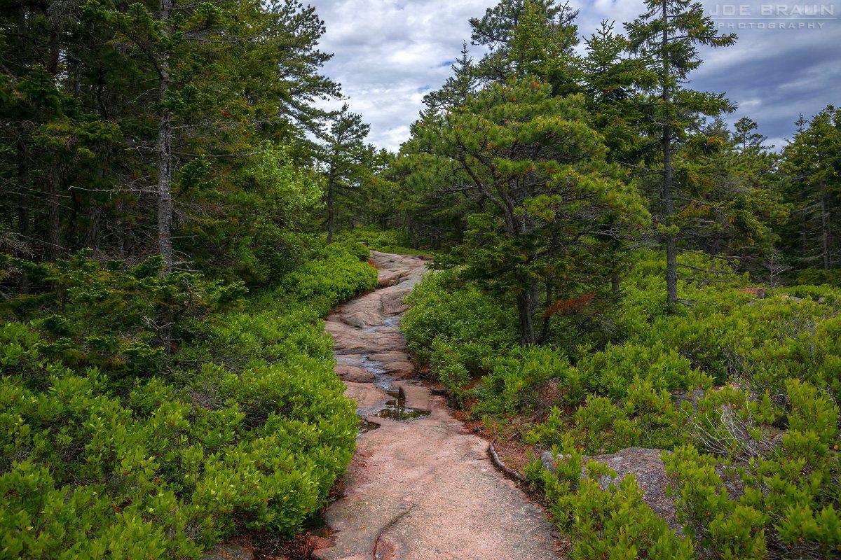 Give back
Friends of Acadia
Join a drop-in stewardship project and learn from people who care for the park’s trails and summits.
See volunteer options ↗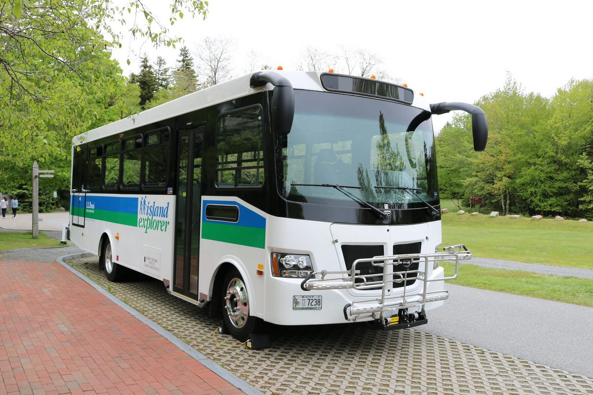 Move around
Island Explorer
Use the official fare-free seasonal bus source for current routes and schedules instead of planning the day around parking.
Check shuttle schedules ↗Go offshoreIsland ferries
Start with the year-round Beal & Bunker service to the Cranberry Isles; seasonal and state ferries have separate schedules.
See current ferry service ↗